Easy View
Free 2D/3D Spatial Data Viewer
View your spatial data using the free CARIS viewer. Easy View allows users to view spatial data from a wide range of file types without the need for specialized software.
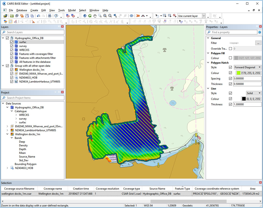
Easy View gives users control of the data. Users can open and interact with any number of sources including DTMs, raster images and charts, point clouds, variable resolution surfaces and vector data sources such shapefiles and Electronic Nautical Charts (ENC). The order they are drawn can be adjusted, and the display parameters for each layer can be customized. Users can also make selections and query layers in both 2D and 3D for additional analysis of the data.
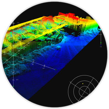
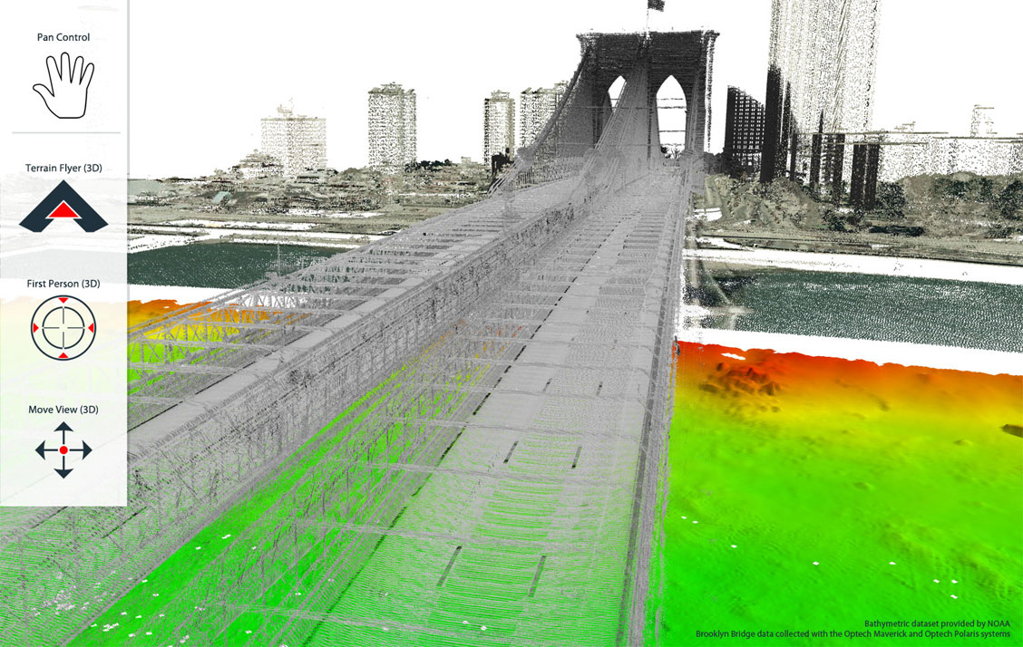
Using the 3D visualization engine, users can effectively inspect data from every angle using various visualization, surface draping and filtering techniques. While navigating through the data users can record fly-throughs and export the recordings as movie files.
With Easy View users can easily view, analyze and share their spatial data.
New Features in version 6
Here are the top new features in the latest release of Easy View
Flexible Interface for Organizing and Interacting with Data
CARIS is pleased to provide a redesigned application interface that will allow for a more intuitive experience when interacting with diverse sources of data. With expanded access to GIS formats such as GeoPackage, services such as Web Feature Services, and direct connections to databases such as PostgreSQL, new possibilities emerge for integrating and expanding the use of CARIS applications within an organization. The new application interface provides a consistent user experience when connecting to different data sources, filtering, grouping, setting up display properties and portrayal instructions.
Navigation Controls
Easy View is an effective platform for exploring geospatial data. New navigation options have been added to make interacting with data easier and more intuitive including a new pan navigation mode and the addition of the 3D View Controls Types in the toolbar. The user can set the preferred navigation modes and transition seamlessly between the 2D and 3D Views.
Supported Data Formats
- Vector data formats: Shapefile, DXF, GML, and MapInfo files
- Elevation models: BAG, CSAR, 32-bit GeoTIFF, and USGS DEM files
- Raster images: GeoTIFF, PNG, MrSID, and JPEG
- Charts formats: S-57, S-100 and BSB
- Database connections: PostgreSQL, SQLite and Oracle
- Web services: WFS, WMS, WCS and WMTS
Download Easy View 6.1.6
We would love if you could please tell us a little bit about yourself before continuing on to the requested content.
Technical Specifications
| Easy View | |
|---|---|
| Component | Recommended |
| Processor | Recent generation multi-core CPU |
| Memory | 16 GB of RAM |
| Storage | Minimum 1 GB available for installation |
| Display | NVidia® or AMD® display adapter, with an OpenGL 3.3 compatible GPU, with 2GB of memory or greater |
| Operating System | Windows® 10 Professional 64-bit, or Windows 11® 64-bit |
|
The 3D visualization capability takes advantage of the higher end video cards that are commonplace in newer systems. You may need to ensure you are using the most recent video drivers for your display adapter. To achieve optimum results in 3D with the most sophisticated visualization options, you might want to consider upgrading your video card as well. Please note that with the release of version 6, Easy View is available only for 64-bit Windows™ environment. |
|
