News
Rapid Environmental Assessment (REA) and CARIS Onboard
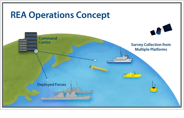
The use of near real-time data processing software, such as CARIS Onboard™, has significant benefits in supporting hydrographic surveys for Rapid Environmental Assessment (REA). REA is a North Atlantic Treaty Organization (NATO) introduced concept, created to help quantify the environmental conditions of the battlespace and provide information to the decision maker as to how the environment will impact proposed operations.
As part of an REA strategy, the bathymetry and seafloor imagery of the battlespace is often a very critical component. Specialized hydrographic survey platforms are utilized to acquire the necessary data. As sensor accuracy and resolutions improve, and with the emergence of autonomous vehicles, the quantity of the data collected is increasing significantly. Therefore, the need to incorporate a toolset which automates the processing of the data quickly and efficiently, has become a necessity.
By combining the near real-time data processing capabilities of CARIS Onboard, with Synthetic Aperture Sonar (SAS) technology such as the one developed by Kraken Sonar Systems Inc., turnkey solutions for REA now exist. SAS technology has been used widely in specialized military applications and is increasingly being used as a hydrographic sensor due to its ability to capture co-located imagery and bathymetry.
This approach offers a new and unique method of acquiring and processing data automatically whilst the survey is underway, while also providing human input through a feedback loop. Through a recently signed OEM agreement between CARIS and Kraken, this type of capability is now available to expedite the product creation timeline for REA projects.
Join our Mailing List
Subscribe to email announcementsOur Latest Tweets
Tweets by Teledyne CARIS Follow us on TwitterConnect With Us
